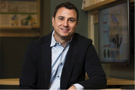
Patrick Florance

Research/Areas of Interest
Geographic Information Systems (GIS), geospatial technology, the Open Geoportal (OGP), visualization, GPS, cartography, international mapping especially the developing world, humanitarian assistance, open source applications, digital humanities, ecology, data mining, human security, crisis mapping, business intelligence/analytics, geospatial new media, remote sensing, natural disasters, historical modeling, 3D GIS, public health, geospatial social network tools, data science, urban modeling, open data, geospatial data sources, geo portals, web mapping, UAV - Drones, Spatial Data Infrastructure, geospatial education, natural language processing (NLP), text analysis, etc.
Education
- Bachelor of Arts, University of Oregon, Eugene, United States
- Master of Arts, Geography - Geographic Information Science, City University of New York - Hunter College, New York, United States
Biography
I am the Director of Research Technology at Tufts University. I lead a team that provides support and infrastructure for High Performance Compute (HPC), research storage, scientific instrumentation, bioinformatics, and data science more broadly: geographic information systems (GIS), statistics, data visualization, data engineering, natural language processing, machine learning, etc. across the university. I also run the Tufts Data Labs and The Open Geoportal Project (OGP). I am also a senior instructor at the Fletcher School of Law and Diplomacy.
http://researchtechnology.tufts.edu
http://datalab.tufts.edu
http://researchtechnology.tufts.edu
http://datalab.tufts.edu